

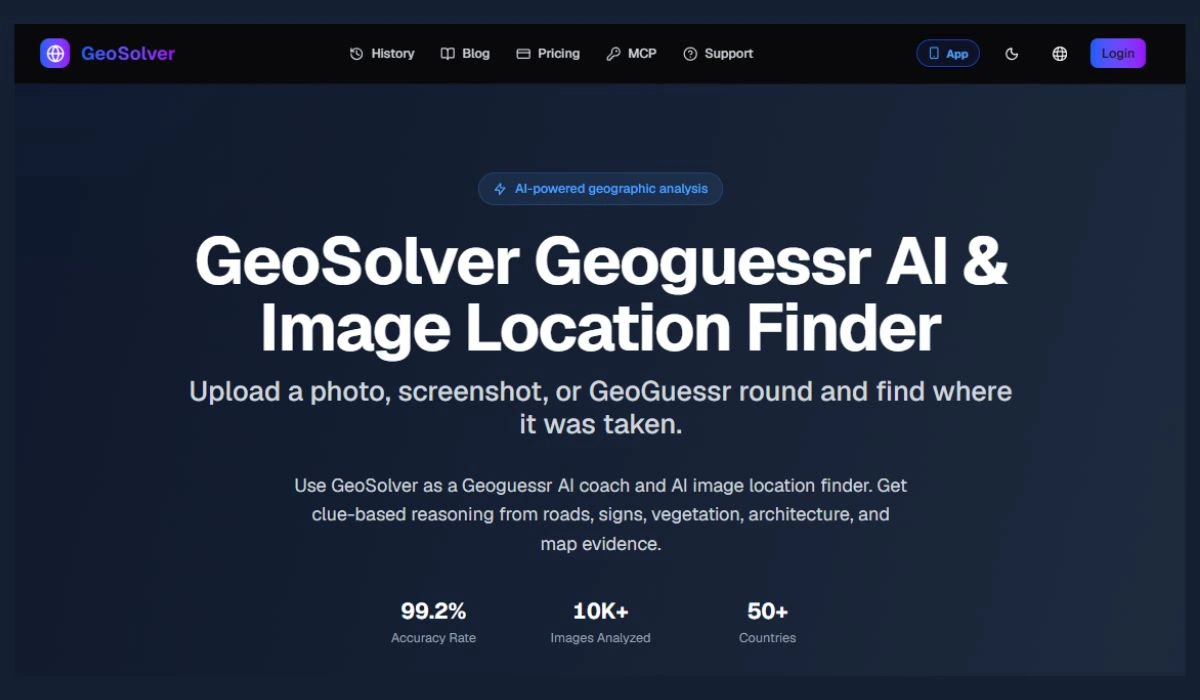
GeoSolver is an AI-powered image geolocation platform designed to help users identify where images were taken by analyzing visual clues and geographic details. The platform offers a free tier, making it accessible for casual users, researchers, students, and geography enthusiasts. It can be useful for OSINT verification, travel research, geography learning, and GeoGuessr-style image location practice. Users can upload photos or screenshots and use visual information such as buildings, roads, signs, landscapes, vehicles, and other environmental clues to estimate a location. Whether you are trying to verify an image, improve your geographic knowledge, research a destination, or practice recognizing locations from visual evidence, GeoSolver provides a practical way to explore image-based geolocation.
Key features
- AI-powered image geolocation
- Find location from photos and screenshots
- GeoGuessr AI solver and coach
- Visual clue analysis
- Country and regional location detection
- Road and traffic sign recognition
- Architecture and infrastructure analysis
- Vegetation and terrain analysis
- Vehicle and license plate clue analysis
- Google Street View meta analysis
- EXIF and GPS metadata tools
- Reverse image search for location
- Location confidence estimates
- Detailed geographic reasoning
- Social media screenshot analysis
- No-EXIF image analysis
- OSINT image geolocation
- Map-based location verification
Best for
Finding where a photo was taken GeoGuessr players and learners Travel research Photo location discovery Social media image verification OSINT research Journalists and researchers Analyzing screenshots Finding locations without GPS or EXIF data Verifying geographic clues
Use cases
- Find the location of a photo
- Identify a country from an image
- Solve GeoGuessr rounds
- Analyze Street View clues
- Locate screenshots from social media
- Find locations from images without EXIF
- Verify claimed photo locations
- Research travel destinations
- Investigate geographic clues
- Analyze roads, signs, and architecture
- Identify regional visual patterns
- Perform OSINT image research
- Learn GeoGuessr geographic meta
- Trace the likely location of online images
Pros
- AI-powered visual location analysis
- Works with photos and screenshots
- Does not require GPS or EXIF metadata
- Analyzes multiple geographic clues
- Provides location reasoning instead of just a guess
- Useful for GeoGuessr training
- Supports social media images
- Can analyze unique images without indexed matches
- Provides confidence estimates
- Covers country and regional analysis
- Useful for travel and research
- Supports OSINT-style image analysis
Considerations
- Results depend on image quality
- Precise locations may not always be possible
- Visual clues can be ambiguous
- AI-generated or heavily edited images may reduce accuracy
- Low-resolution images can limit analysis
- Results should be independently verified
- Private or sensitive locations should be handled responsibly
- Exact location accuracy depends on the available geographic clues
Frequently asked questions
What is GeoSolver?
GeoSolver is an AI-powered image geolocation tool that analyzes photos, screenshots, and GeoGuessr images to estimate where they were taken.
Can GeoSolver find the location of a photo?
Yes. GeoSolver analyzes visible geographic clues to provide a likely location and supporting reasoning.
Does GeoSolver require GPS or EXIF data?
No. GeoSolver can analyze images using visible clues even when GPS or EXIF metadata is unavailable.
Can I use a screenshot with GeoSolver?
Yes. Screenshots from social media, websites, and GeoGuessr can be analyzed.
What clues does GeoSolver analyze?
It can analyze roads, signs, architecture, vegetation, terrain, vehicles, utility poles, road markings, and other geographic indicators.
Is GeoSolver useful for GeoGuessr?
Yes. It is designed as a GeoGuessr learning and coaching tool that helps users understand geographic clues.
Can GeoSolver analyze social media images?
Yes. Social media screenshots and downloaded images can be analyzed even when metadata has been removed.
Does GeoSolver provide reasoning?
Yes. The platform provides geographic reasoning explaining the clues behind its location estimate.
Can GeoSolver find a location without an exact reverse-image match?
Yes. Its AI geolocation workflow can reason from the visual content of an image rather than relying only on an indexed duplicate.
How accurate is GeoSolver?
Accuracy depends on the quality and distinctiveness of the image. The platform states a 99.2% country-level accuracy rate, while precise regional or pinpoint results depend on the available visual evidence.